Transportation
Whether you’re traveling by car, bus, bike, train or light rail, getting around Minnesota is simple and convenient. Read about transportation options below to find your ideal way to explore and make your journey as smooth as possible.
For more on getting here, check out the frequently asked questions section below.
Navigating the Star of the North
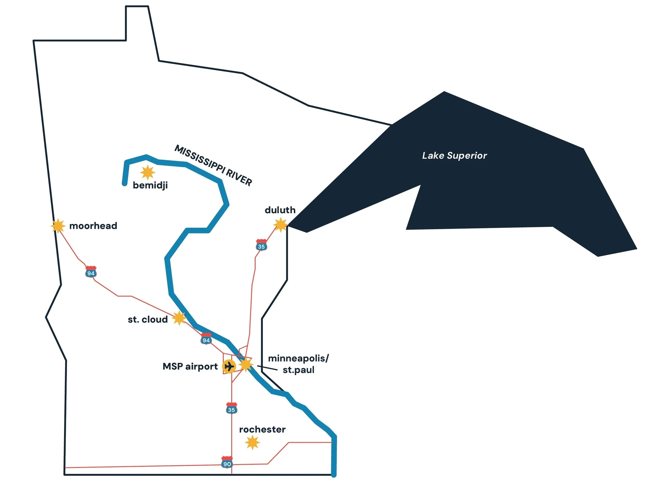
Minnesota is about 400 miles long and between 200 and 350 miles across. Exploring by car is popular, and Amtrak passenger train service crosses the state from the scenic southeast corner to the prairies of the northwest.
In the Twin Cities area, public transportation options include light rail and bus service, and it’s also easy to get around on foot or by bike.
Public Transportation
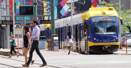
In the Twin Cities
Check out how to tour the Twin Cities on the Green Line, an easy, accessible light rail service with more than 20 stops between Minneapolis' Target Field and St. Paul’s Union Depot.
- Light rail: Find schedules, stops and more at Metro Transit
- Bus: Find schedules, stops and more at Metro Transit
- Bike: Find bike share stations and more at Nice Ride Minnesota
Beyond the Twin Cities
- Northstar commuter rail: Find schedules, maps, fare information and trip tools at Metro Transit
Exploring by Train

Union Depot in St. Paul is part of the Amtrak national train system and serves as a stop along the Amtrak Empire Builder route, connecting Winona, Red Wing, St. Paul/Minneapolis, St. Cloud, Staples and Detroit Lakes. This route features one daily train in each direction.
Find out how you can explore Minnesota's Bluff Country region by train here.
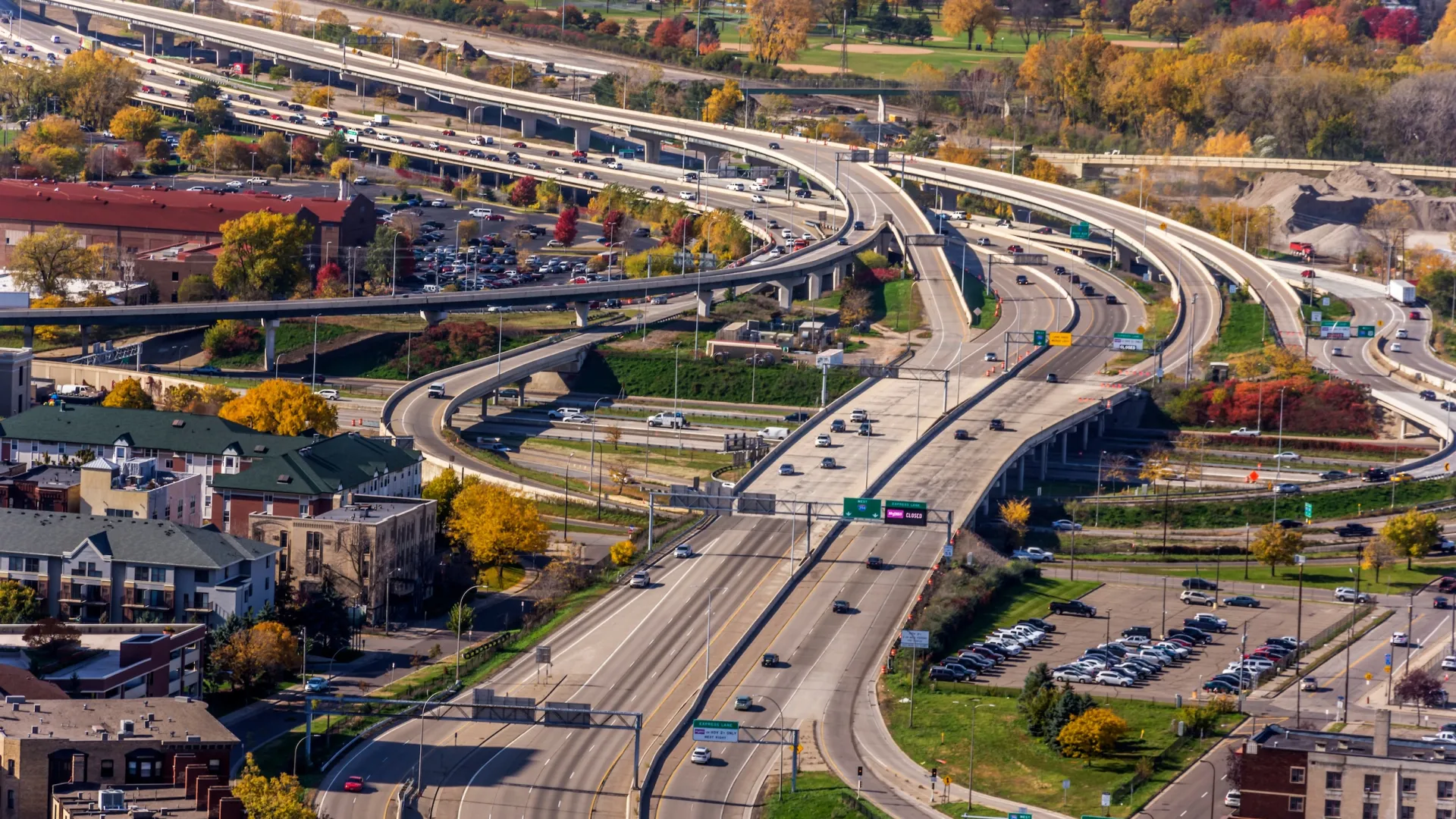
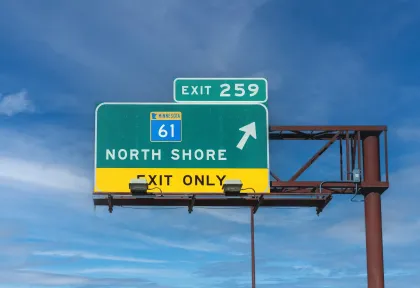
Traveling by Car
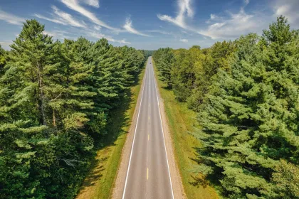
Hitting the open road in Minnesota means a mix of major highways, small-town roads and scenic byways. You'll discover natural and cultural gems along the way. For more information on driving in Minnesota, as well as current road conditions and closures, refer to the Minnesota Department of Transportation.
Official Map
Download the free Minnesota State Highway Map before you go, or get one bundled with our latest travel guide.
Road Rules
Visit the Office of Traffic Safety website for a quick summary of key rules of the road, including laws about seat belt and booster seat usage.
Texting/Cellphone Usage Laws
With Minnesota’s hands-free law, it’s illegal for drivers to read or send texts and emails, or access the web while the vehicle is in motion or part of traffic — including at a stoplight or stop sign.
Speed Limits
Some general rules are below, but be sure to follow all posted speed limits.
- 20-30 mph on streets in urban districts
- 55 mph on other roads
- 65 mph on expressways
- 65 mph on urban interstate highways
- 70 mph on rural interstate highways
Right on Red Rule
Minnesota law allows motorists to make a right turn after stopping at a red light unless a sign indicates the turn is prohibited. Drivers must use caution and follow right-of-way rules.
Twin Cities Rush Hour
The morning rush hour is worst around 7:30 to 8:30 a.m., while the evening rush hour starts around 4 p.m. and peaks between 5 and 5:30 p.m.
Exploring by Bike
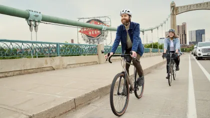
Getting around on two wheels is a popular mode of transportation that’s good for you and the planet. From some of the nation’s best urban trails in the Twin Cities to rural rail trails through lush forest or wild prairie, more than 4,000 miles of trails make it easy to explore Minnesota by bike, including:
City Rides
Cycle around the city on the Grand Rounds Scenic Byway, a 51-mile urban loop connecting the downtown Minneapolis riverfront, Mississippi River, Minnehaha Falls, the Chain of Lakes and more.
Trails
Explore paved, unpaved and single-track recreational trails around the state and take in scenic views along the way.
Long-Distance Rides
Gear up for long-distance bike rides and find more than 1,000 miles of adventure in Minnesota.
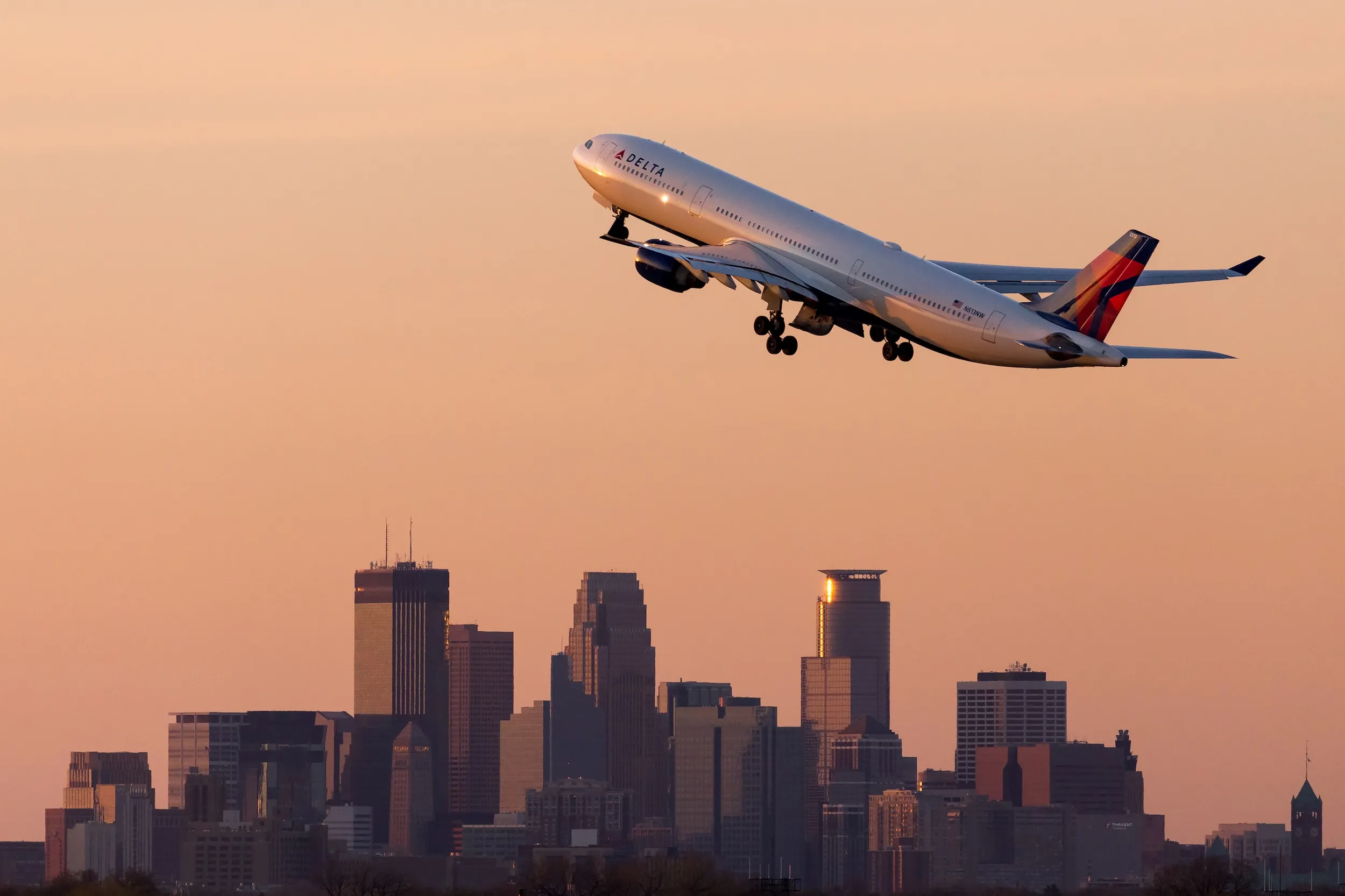
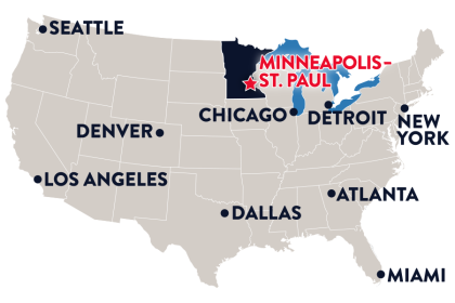
Getting to Minnesota
The Star of the North is easy to reach, whether you’re flying, driving or arriving by train. No matter how you get here, we want your travels to be as smooth and hassle-free as possible. Read on for travel information and tips.