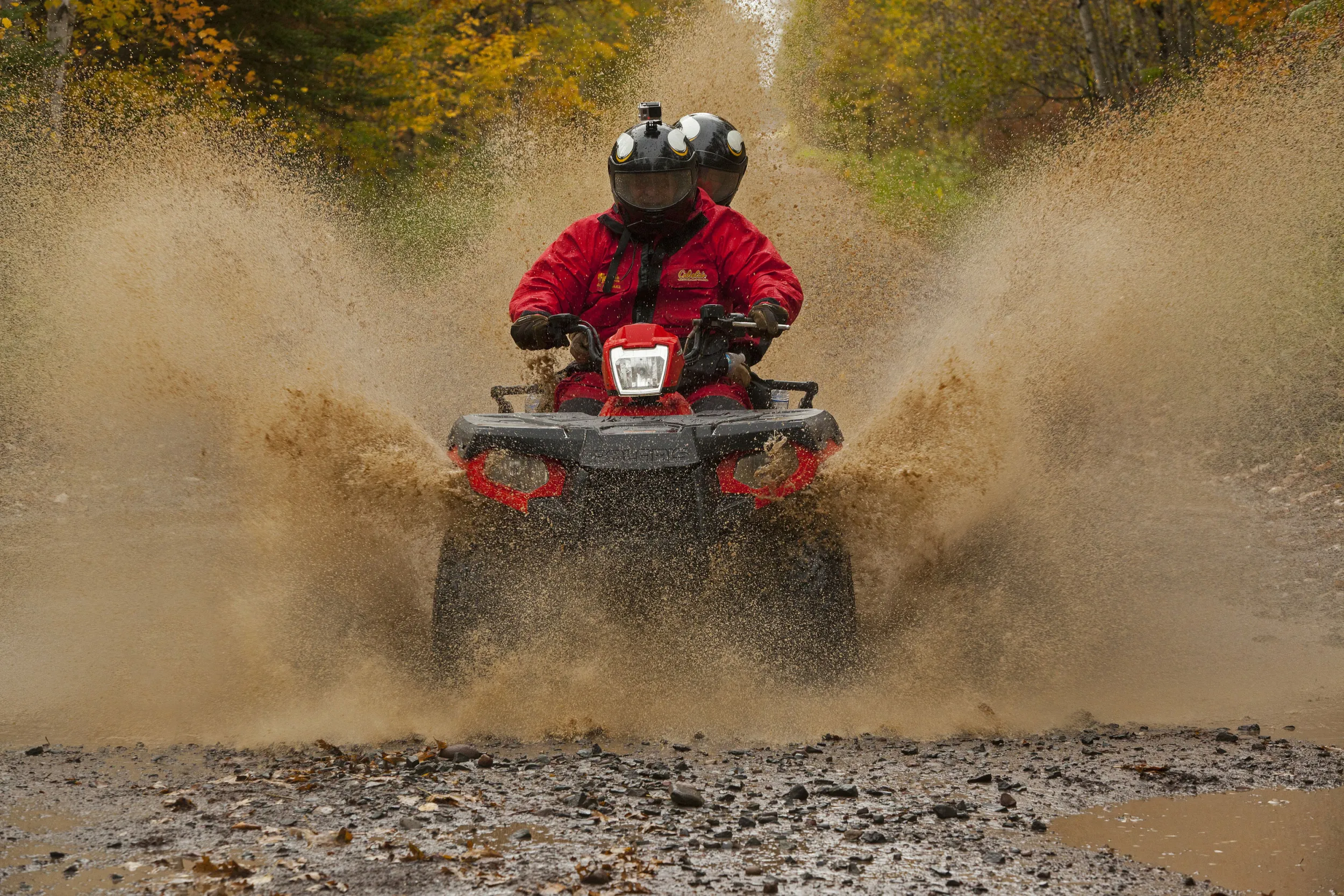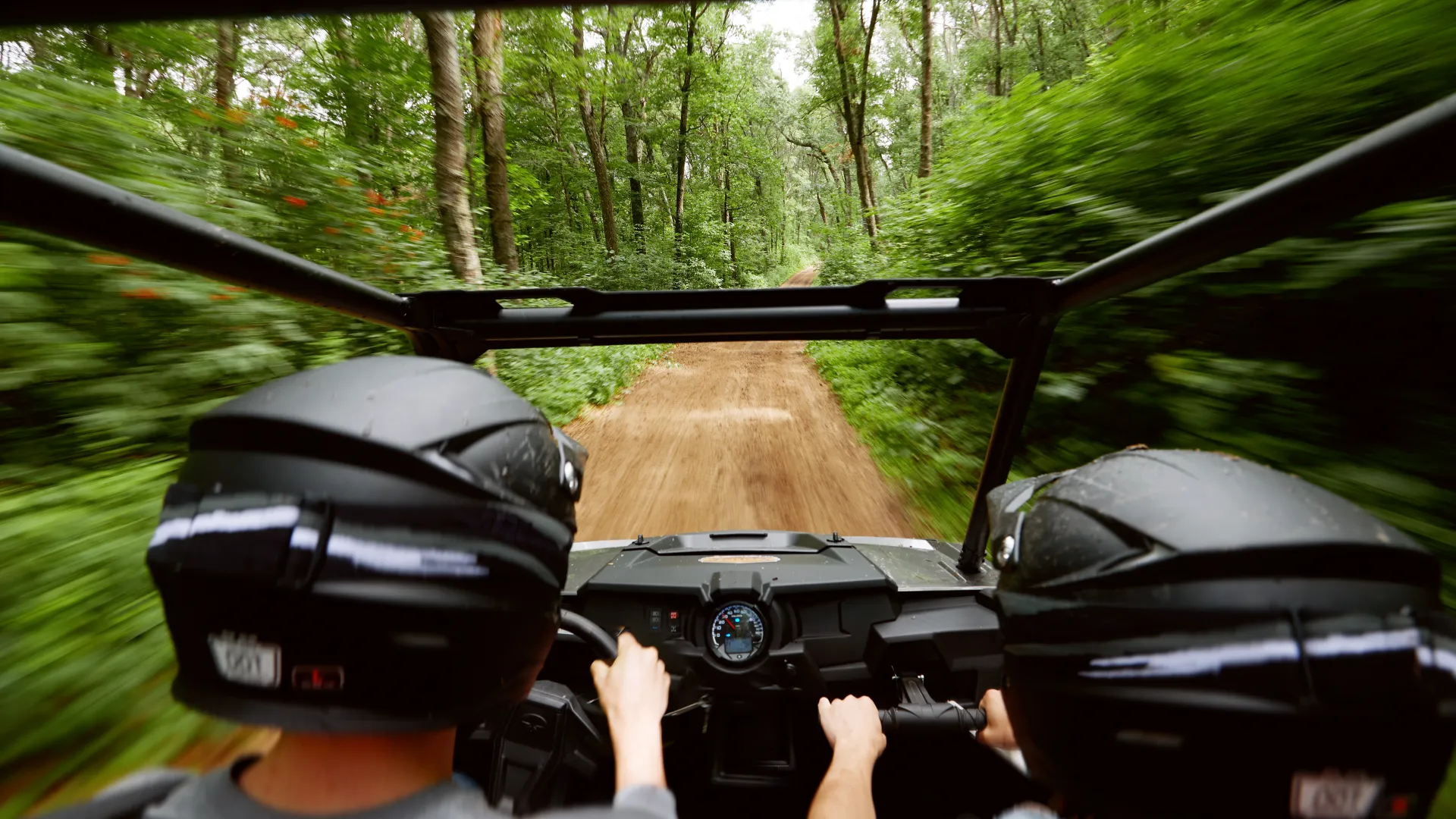
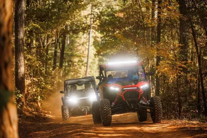
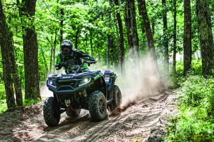
Minnesota's Best ATV Trails
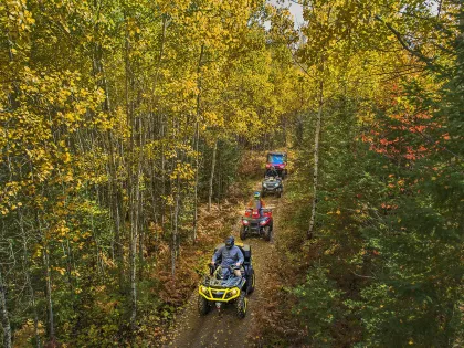
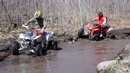
Minnesota boasts dozens of all-terrain vehicle trails, with most clustered in the state's northern stretch. There are trails to suit every skill level, too, from flat and open paths that cater to beginners to narrow, winding roads that will challenge even the most experienced riders.
Here are some of Minnesota's best ATV trails.
-
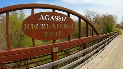
Agassiz Recreational Trail
 Agassiz Recreational Trail
The Agassiz Recreational Trail begins at Crookston and extends 52 miles to the southwest until it ends at the tiny town of Ulen. Not far from the North Dakota border, riders can enjoy surprisingly scenic views of the Sand Hill and Wild Rice rivers from the bridges that pass over them.
The trail runs atop an abandoned railroad grade. Riders travel through sparsely wooded stretches and scenic farm country. This is a multi-use trail also popular with hikers, bicyclists and horseback riders.
-
Appleton Area Recreational Park
 Appleton Area Recreational Park
In a past life, Appleton was a gravel mine. These days, it's a massive 330-acre OHV park with 20 miles of trails catering to riders of all skill levels.
With technical and beginner-friendly ATV trails, a motocross practice track, rock climbs, and a water pit for getting muddy, Appleton Area Recreational Park is a destination for riders in southwestern Minnesota and beyond. The city of Appleton even allows ATVs to travel on select, posted roads.
-
Baudette/Warroad Area
 ATV riders on the Warroad/Roseau trail system / Credit: Go Roseau
This area features the Warroad/Roseau and Bemis Hill trail systems. Nearly 90 miles long, the Warroad/Roseau trails are located largely in the northeast corner of the 700,000-acre Beltrami State Forest. The Bemis Hill trails travel for 96 miles on the eastern edge of the forest. The Warroad/Roseau trails connect to 200 additional miles of off-highway vehicle trails.
Trails in the Beltrami State Forest mostly travel along pine-covered ridges, large flatlands, and look out over peat bogs. Carp’s Pit Recreation Area is a popular picnic and resting area for Warroad/Roseau trail riders. There's also a picnic area for Bemis Hill riders.
-
Forest Riders Trail
ATV in the Paul Bunyan State ForestThe 100-mile Forest Riders Trail is exactly what you'd think it is: a tour of scenic, remote state forests, including Two Inlets, Smoky Hills, Paul Bunyan and White Earth. Starting 15 miles northwest of Park Rapids, the trail has a little bit of everything, from gently curving forest roads to more challenging terrain.
Stay overnight at campsites in the Paul Bunyan and Two Inlets state forests, or at any of the many area resorts and hotels. Jack Pines offers uniquely themed cabins that fit up to 14 people, along with a proper restaurant and event center.
-
Fort Ripley Trail
Taking a break from trail riding in Fort Ripley / Credit: Paul VincentTucked just south of Brainerd, the Fort Ripley Trail offers one of central Minnesota’s most approachable and scenic rides. This roughly 30-mile route winds through pine and hardwood forests, often following a former railroad grade that keeps the terrain smooth, gently rolling, and ideal for beginners or relaxed cruising.
A standout stretch near Sebie Lake adds a bit more character, but the real appeal is how seamlessly the trail connects into the larger Crow Wing County system, making it easy to turn a casual ride into a full-day adventure.
-
Fourtown-Grygla Trail
Fourtown-Grygla Trail / Credit: TruliaAt a whopping 170 miles, the Fourtown-Grygle is among the state’s longest ATV trails. Much of the system follows county roads, ditch banks and existing trails. With generally flat and easy riding, Fourtown-Grygle isn't the most challenging trail in Minnesota, but it's the perfect spot to lay on the gas and test your engine. Riders may also see the occasional moose, a black bear, sandhill cranes or many different waterfowl species.
-
Iron Range Off-Highway Vehicle State Recreation Area
ATV riders on the Iron Range trail during the fall / Credit: Jack RendulichConsidered Minnesota’s premier ATV park, the Iron Range Off-Highway Vehicle State Recreation Area is the closest thing we've got to a playground for OHVs. Located in the heart of Minnesota's mining country (Gilbert), the park's 36 miles of trails run the gamut from 4x4 rock crawls to sand and mud drags, a tough-truck competition course and multi-purpose event area.
Trails range from easy, beginner-friendly romps to some of the most difficult riding you'll find in Minnesota.
-
Nemadji State Forest Trails
Nemadji State Forest / Credit: Pete HagerWith more than 200 miles of trails found within its 92,000-acre boundaries, the Nemadji State Forest is home to one of Minnesota's most extensive and diverse ATV trail systems.
Most of the forest roads and trails you'll find at Nemadji are open to all types of OHVs, though some are reserved exclusively for Class 1 ATVs or off-road motorcycles.
Southern portions of the forest are havens for gentle hills and easy riding, while its northerly trail sections introduce narrow twists, turns and climbs into the mix.
-
Round River Drive
 The Kettle River Bridge on the Soo Line North ATV Trail
Riders are spread out across 80 miles of roads and trails on Round River Drive, which feels spacious even on busy holiday weekends. The gravel forest roads are perfect for beginners, winding among tall pines and small ponds.
Much like the Martineau Trail built for off-highway motorcycles, Round River is located in the Paul Bunyan State Forest and part of the Park Rapids area off-road triangle that includes Two Inlets State Forest to the north and Huntersville State Forest to the south.
-
Soo Line North Trail
The season opener at Spider Lake OHV Trails / Credit: Pete HagerFollowing an abandoned railroad line, Soo Line North Trail is Minnesota's ultimate ATV connector. The flat, gentle 48-mile trail connects to the Rabey Line Trail, the Blind Lake Connector and Loop, the Hill City Trail, and the Lawler Loops.
The trail begins in Remer and ends near Cass Lake. It’s common for riders on this trail to see a variety of forest wildlife species.
-
Spider Lake Trails
ATVing in Thief River Falls / Arctic Cat IncLocated in the Foot Hills State Forest near Pine River, the 29-mile Spider Lake Trails area is one of Minnesota's most diverse trail networks.
Smooth, sandy, rough or rocky; you'll find challenging trails of all kinds at Spider Lake. Because of its diverse array of challenging trails, Spider Lake is a popular place for riders to hone their skills.
Trip-Planning Tools
Wherever you’re headed in the off-road triangle, there are plenty of rider resources to help you plan a route; find food, fuel, parking and camping; and easily navigate the trails.
Minnesota OffRoad Adventures
This free, 28-page trail riders' guide includes QR codes to download maps for all the ATV trail systems in the state. You can view it online by visiting our travel guide order page.
Minnesota DNR Resources
This online map outlines whether OHV trails are limited, closed or managed in 59 state forests.
These free paper maps not only show state forest trails and campgrounds, but they also highlight places to go hiking, mountain biking, birding and berry picking, as well as the locations of fishing piers, boat launches, swimming beaches and picnic areas.
The atlas and the state forest maps are available from the DNR Information Center ([email protected] or 651-296-6157 or 888-646-6367), or you can print individual trail maps from the DNR website at www.dnr.state.mn.us/ohv/interactive_map.
Mobile Apps
Several apps available from the App Store or Google Play, when downloaded to your phone or tablet, will show your GPS location on off-highway vehicle trails in Minnesota and across the U.S. They include Avenza Maps, GAIA GPS, onX Offroad and Ride Command.