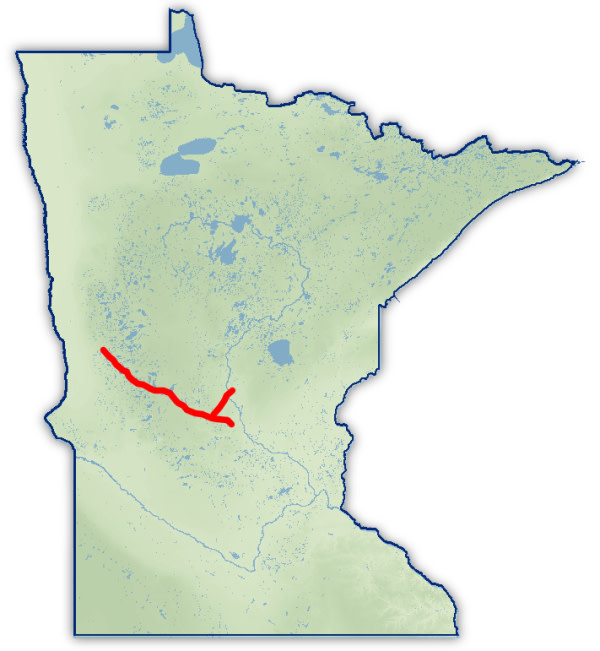
Map of MN with Trail

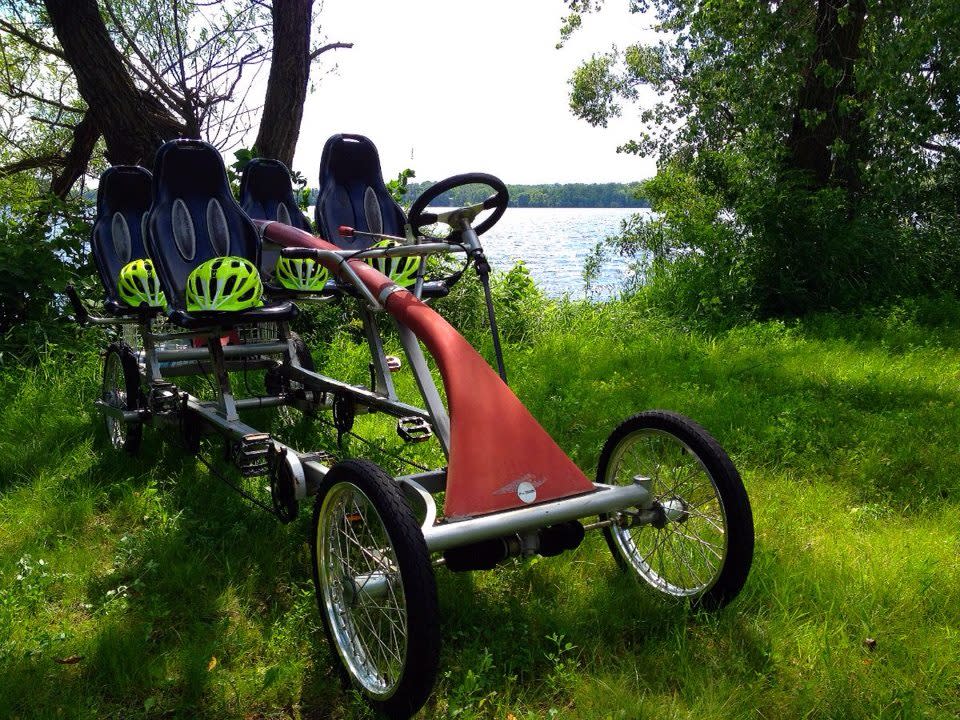
Central Lakes Trail-Four Person Bike

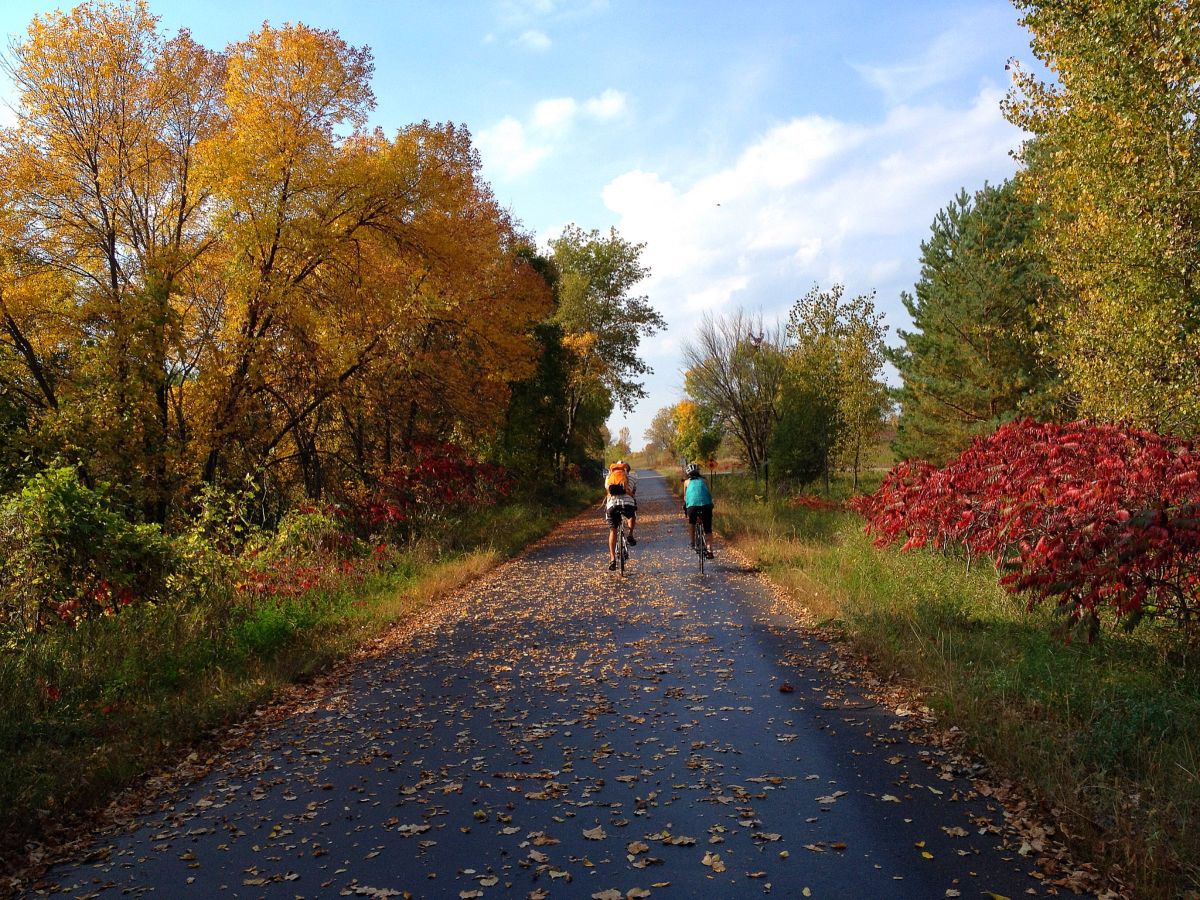
Central Lakes Trail Fall

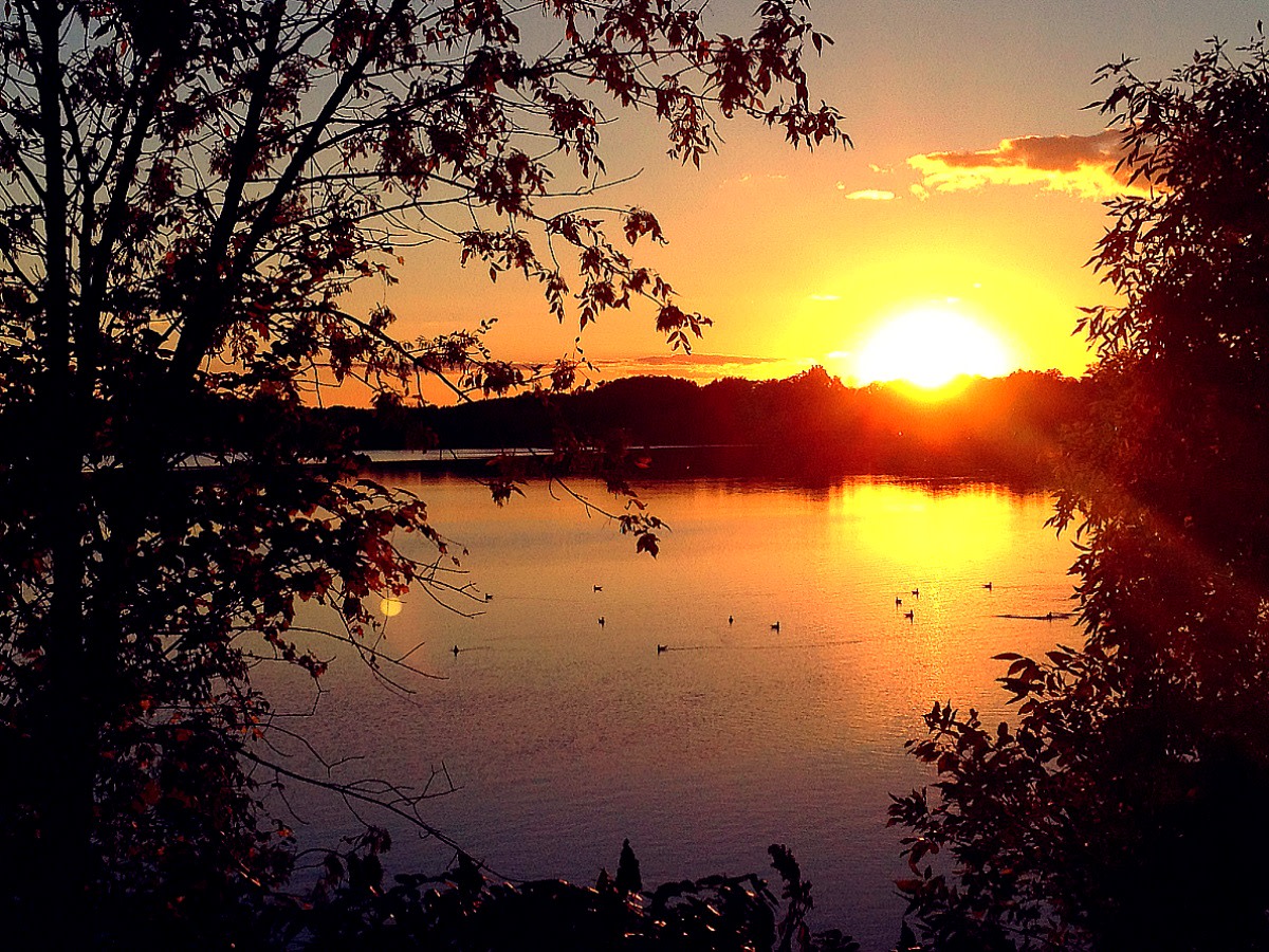
Sunset lake view from Central Lakes Trail 2013

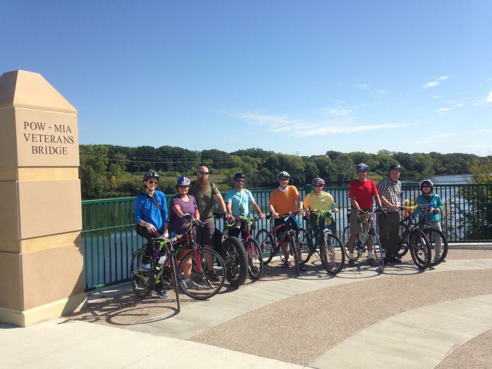
Ole Bikers

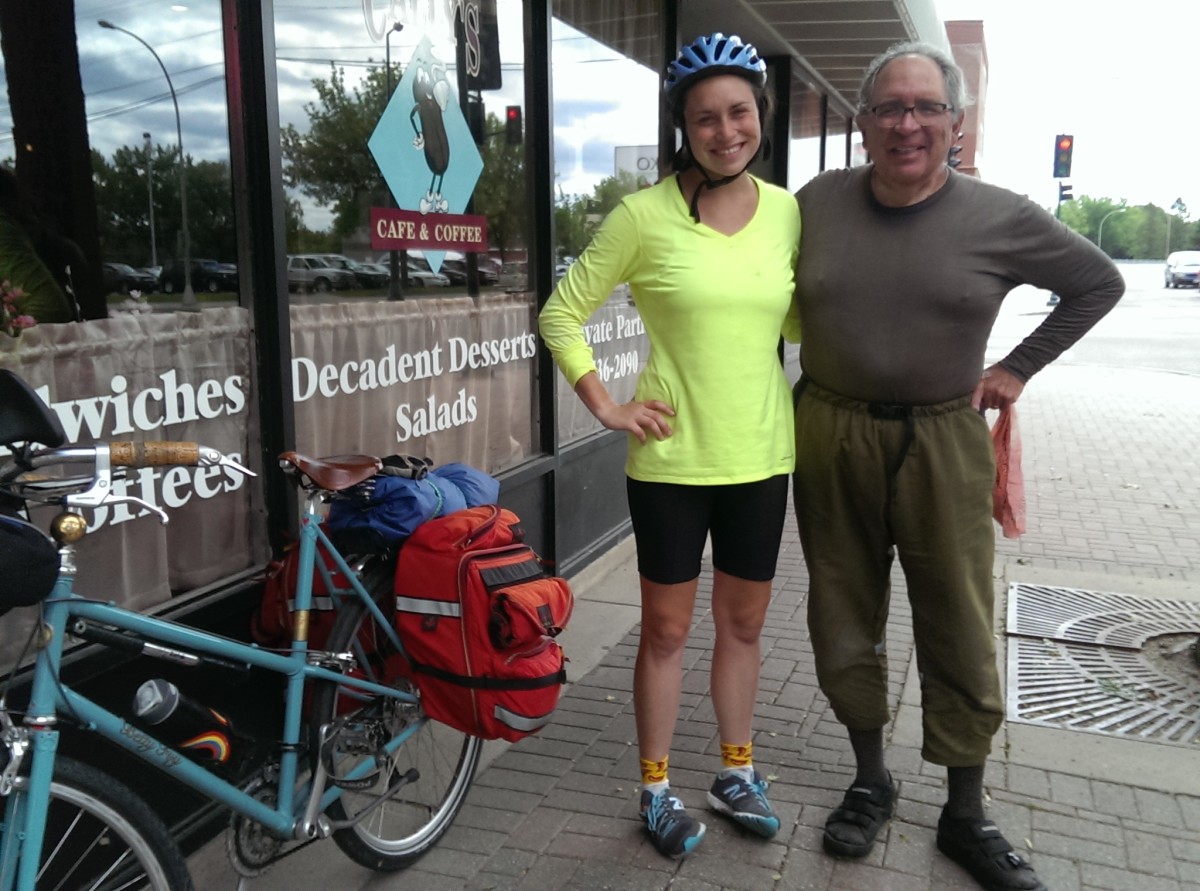
Coffee stop in Fergus Falls

Central Lakes Trail - scenic bridge

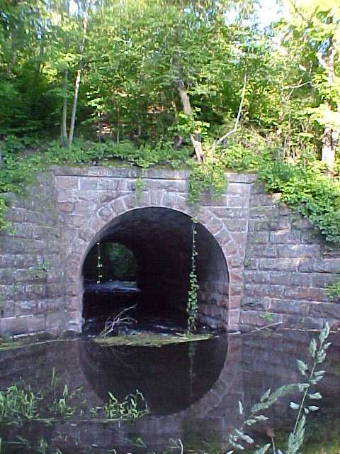
Otter Tail River bridge

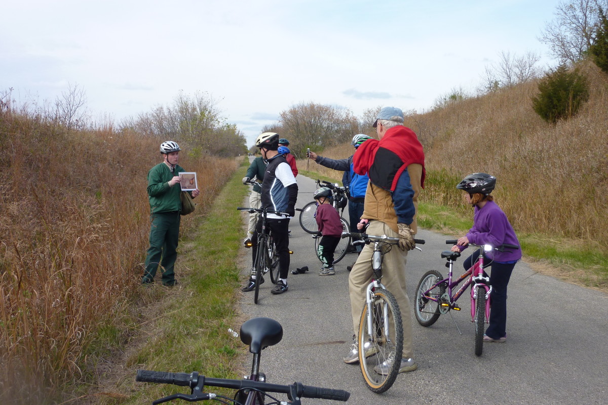
Lake Carlos interpretive ride

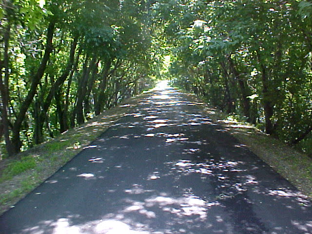
Tree canopy
Contact Information
Central Lakes State Trail
Fergus Fallsto Osakis
Fergus Falls, MN 56537
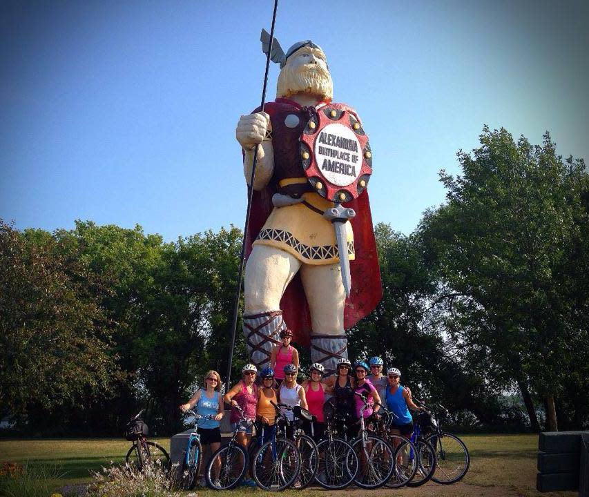
Trailheads are found in each community: Fergus Falls' is in DeLagoon City Park. Dalton, Ashby, Evansville, Brandon, Garfield, Alexandria - by Ole the Viking, Nelson and Osakis - near the Chamber of Commerce.
About
A 55-mile, paved rail trail through 3 counties and 10 communities. Beginning in Fergus Falls, the trail ends in Osakis (or vice versa - depending on where you start!). Trail users will enjoy the many differing landscape views, ranging from open prairie in the west to many lakes scattered throughout the area to the forested, rolling hills in the east.
Passes through Dalton, Ashby, Evansville, Brandon, Garfield, Alexandria, Nelson, and Osakis. Connect to Lake Wobegon Trail in Osakis.
What's Nearby
Mentioned In

Two women bike the Sauke Lake stretch of the Lake Wobegon Trail / Waqar Ahmad

Wander the trails at Fort Snelling State Park / Minnesota DNR

Mickey relaxes at the campsite / Terrae Weatherman

The 55-mile Central Lakes State Trai

Bring your pup on the dog-friendly hiking trails at Gooseberry Falls State Park on the North Shore / Micah Kvidt

Otter Tail Lake at sunset / Allie Hoeft

Wander the trails at Fort Snelling State Park / Minnesota DNR

At 115 miles long, the Paul Bunyan State Trail is Minnesota's longest continuous rail-trail

Boat fishing in Lake Margaret in the Brainerd Lakes Area / Paul Vincent

A packed Bar Lurcat patio in the summer / Krivit Photography, courtesy of Meet Minneapolis

The Fall River Bridge portion of the Gitchi-Gami State Trail / Credit: Minnesota State Parks and Trails